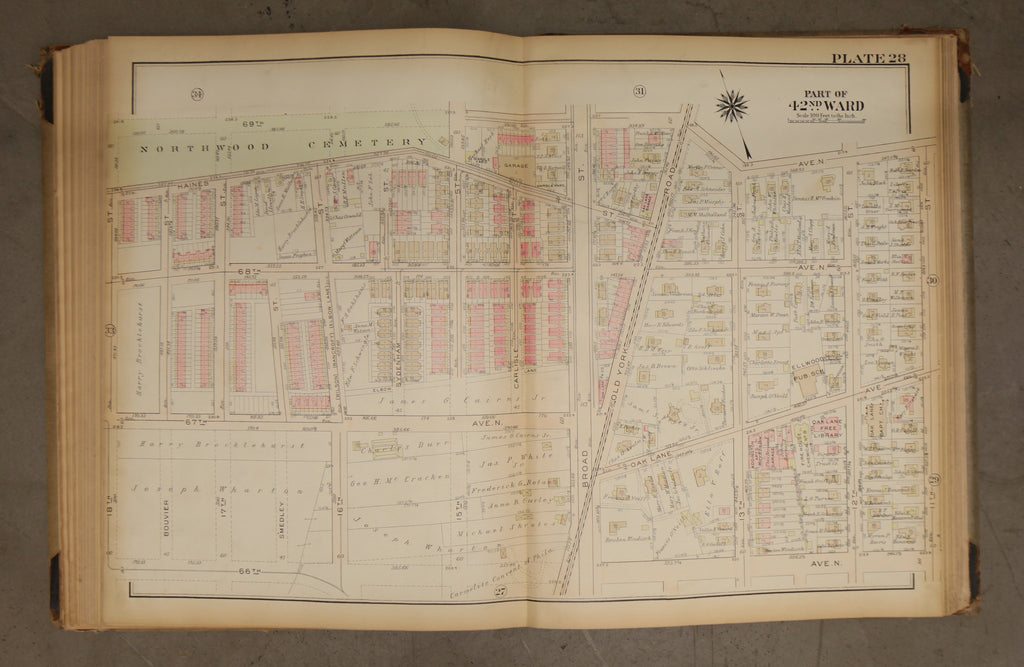
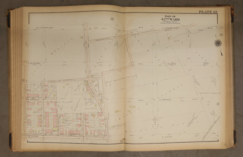
1923 Bromley Atlas - Plate 28 - West Oak Lane: Old York Rd, Oak Lane Free Library
$ 60.00
1923 Bromley Atlas - Plate 28 - West Oak Lane: Old York Rd, Oak Lane Free Library
Big, beautiful and original! 23 by 33 linen map of the 42nd Ward between 69th Avenue to 66th Avenue, and 18th Street to 11th Street. This map shows Ellwood Public School on Oak Lane (now 13th). It also features the southern portion of Northwood Cemetery. Also spy Oak Lane Free Library, the Fire House, and Oak Lane Baptist Church.
Please examine photos closely for condition. Tanning around edges.
