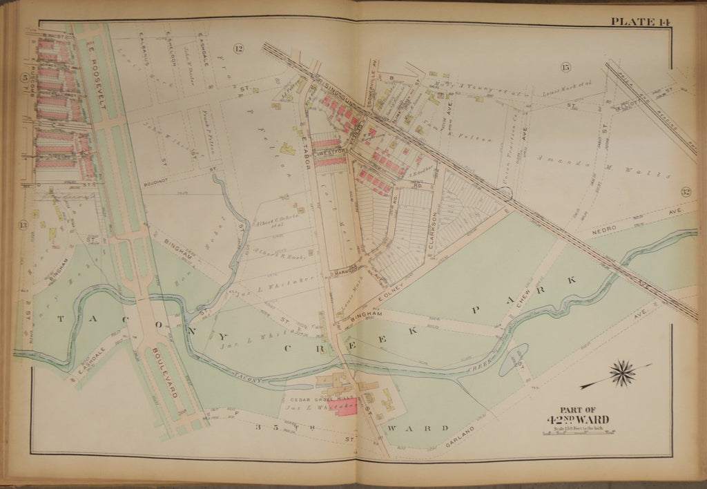
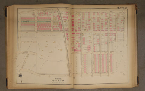
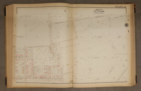
1923 Bromley Atlas Plate--Feltonville; Rising Sun Ave; Tacony Creek Park
$ 60.00
Big, beautiful and original 1923 Bromley Atlas, Plate 14.
Measures 23 by 33 inches.
Shows the area between Ruscomb Street, Garland Avenue, and Elliot Street. This map features the Cedar Grove Mills. This area used to be lush with vegetation, and in this map, it is only just beginning to be developed.
Please examine photos closely for condition. Tanning around edges, and minor tear on left side.
